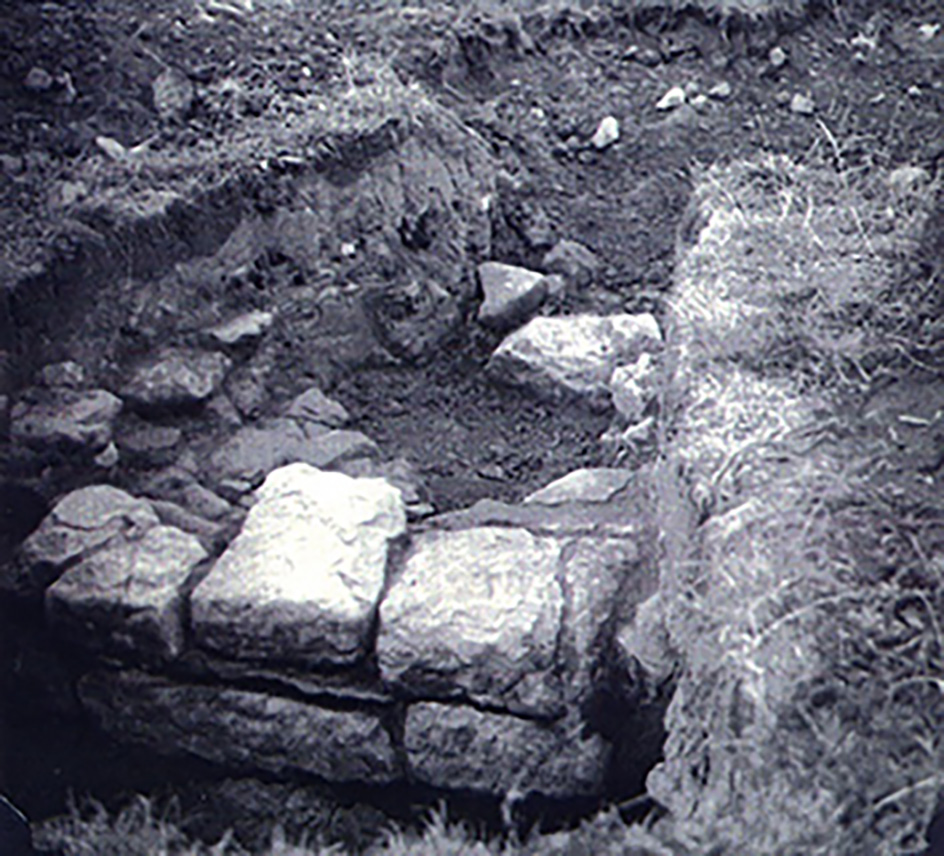
the building excavated in 1970 |
In 1970 archaeologists of the Archenfield Excavation Group, led by Norman Bridgewater, excavated a trench across part of the group of earthwork features in the field to the north of the church. These features had long been believed to have been the traces of a deserted medieval village (DMV). The Archenfield Archaeology Group had been established in 1961, and by this time had conducted a number of successful field projects, particularly in the Romano-British industrial town of Ariconium and of a Romano-British villa-like building at Huntsham, a few kilometres south of Hentland. The group soon recognised that what they were seeing was not a deserted medieval village, as had been long assumed, and was the reason that they were excavating there. Having prepared a project, the group decided to relocate the excavations to their second potential target, on the other side of the church; besides what was then believed to have been a Roman road. [It is no longer believed to be one.] |

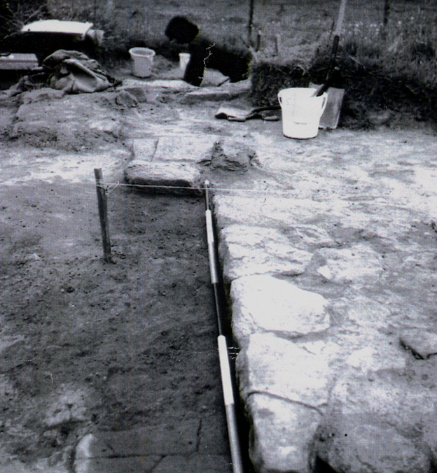
the building being excavated |
In their relocated trench, a few metres south of Hentland churchyard wall, they excavated an appreciable part of a medieval building. This appeared to have been converted later into a Tudor residence. The evidence for this consists of stone sills, and also a quantity of Flemish or Tudor type bricks. Large amounts of 13th century pottery was recovered, together with glazed ridge tiles with hooked and moulded crests. Tiles like this would normally be from a high status building. A small quantity of l6th century ware was also obtained. The floor area of this building was a roughly levelled make-up layer, also containing some medieval material, and this covered an earlier occupation layer cut by a ditch, 7ft [2.1m] wide at the top and 3ft [0.9m] deep. A contemporary post-hole was also found. It was suspected that this ditch surrounded an early cemetery enclosure. Grave cuts were observed outside the present churchyard, but not excavated. A rim-sherd of typical West-Midland Romano-British form was discovered, but the finish was unusual and was foreign to the Archenfield district. In 2006 the earthworks north of the church were re-examined by English Heritage, Archenfield Archaeology Ltd, and a group of volunteers, as part of the Landscape Origins of the Wye valley project. A detailed survey was made of the features and they were probed with iron rods. The probes encountered bedrock just a few centimetres beneath the surface. It was concluded once again that the earthworks had none of the characteristics of a DMV; and the most likely explanation was that they represented quarrying. This was quite possibly associated with the original construction of the stone church. |