|
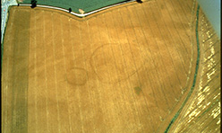
Two enclosures showing as cropmarks at Gillow Farm. The larger one, on the right, indicates the position of a bank with an outer ditch around a Romano-British settlement. Such villages were common in this area, and their inhabitants would have farmed the light local soils, and smelted iron from the abundant ores. This site was excavated in summer 2008. |
|
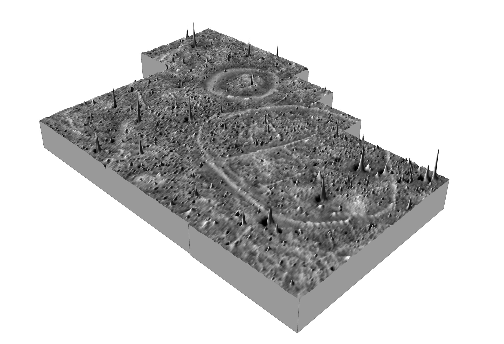
Archaeology employs a range of techniques to solve the problems of discovering and interpreting the evidence of past activity. The geophysical survey of the enclosures at Gillow Farm revealed numbers of enigmatic internal features within the larger ring. It also showed very clearly the ditches, with what appeared to be an entrance to the larger one - bottom right. An area of intense burning was indicated inside the smaller ring. |
|
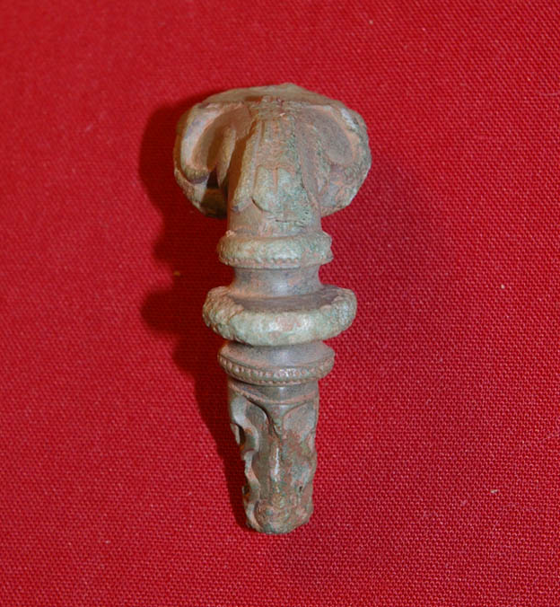
The field was carefully walked over by archaeologists, looking for artefacts and plotting their location. This is best done after ploughing, and after a little weathering exposes artefacts turned up by the plough. This Romano-British brooch was originally sprung and worked exactly like a safety pin. It was used as a decorative method of securing clothing. It was found in the same field as the features shown by aerial photography and geophysics. It was some distance from the enclosure however, suggesting perhaps that it had fallen off while the owner was out working in the settlement's fields. |
|
|
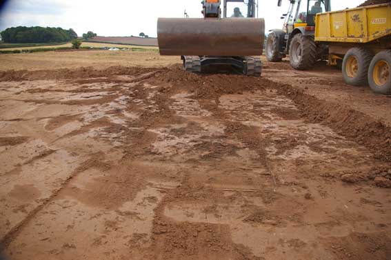
The ploughsoil was carefully removed by machine, using a wide toothless bucket. A close watch was kept on this operation so that the machine could have been stopped if anything suspicious had been revealed as the soil was removed. |
|
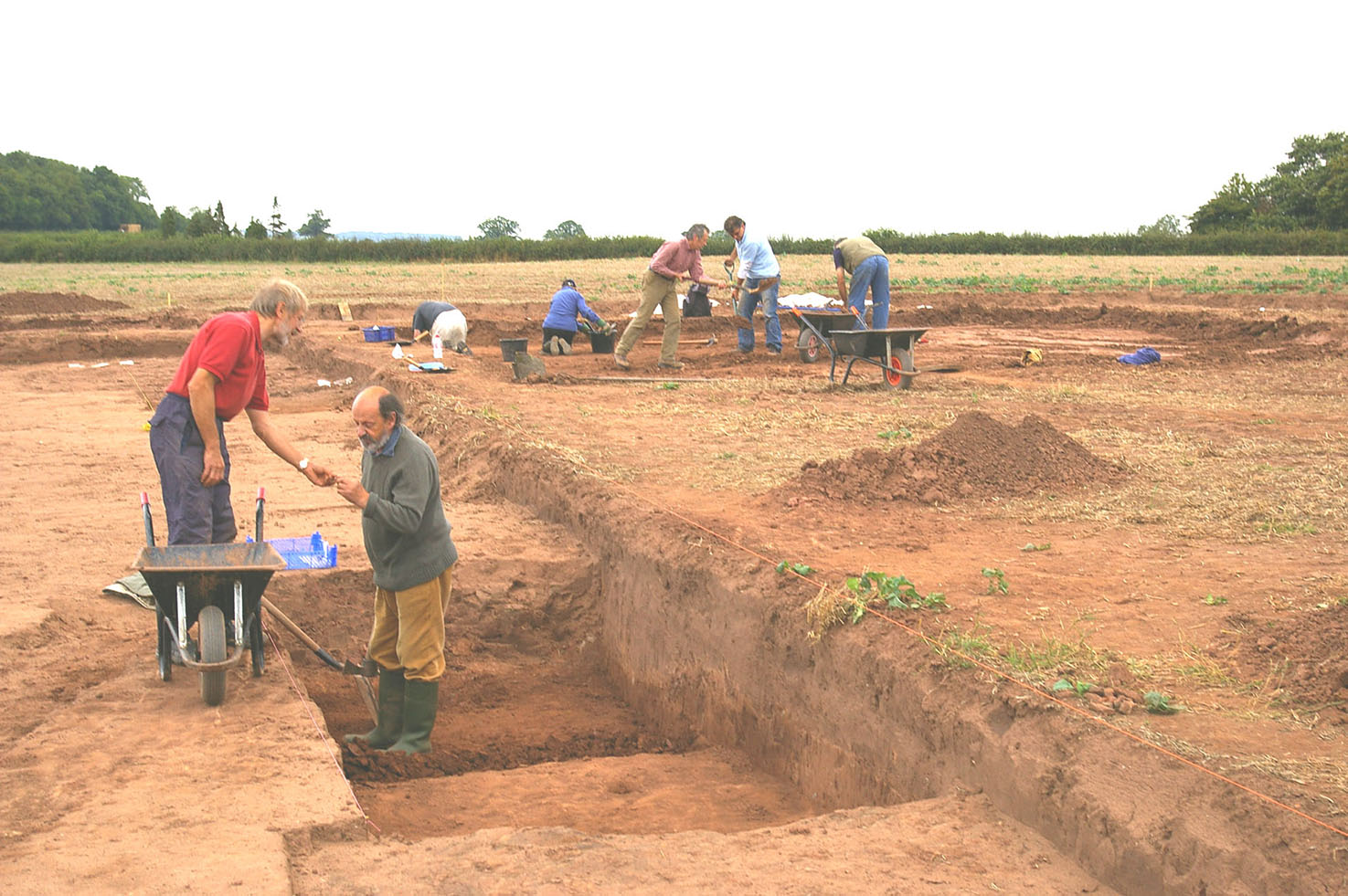
After the topsoil had been removed the enthusiastic volunteer team began excavating the exposed archaeological features by hand. Artefacts were examined and placed in trays for later processing - washing, marking, weighing, measuring and recording. |
|
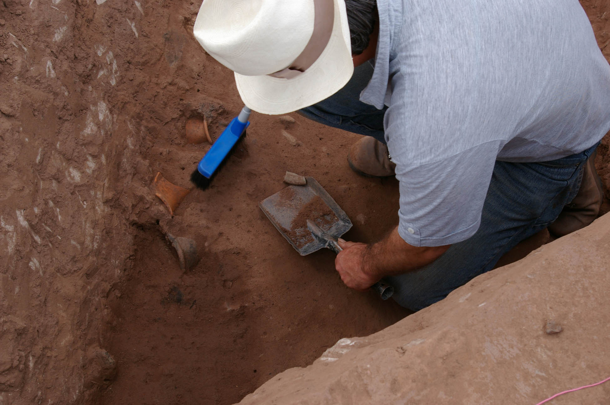
The Romano-British ditch being excavated. Most of pottery found was in the butt end of the ditches next to the assumed entrance. This is quite a common phenomenon. Probably this was the most convenient place to get rid of rubbish. |
|
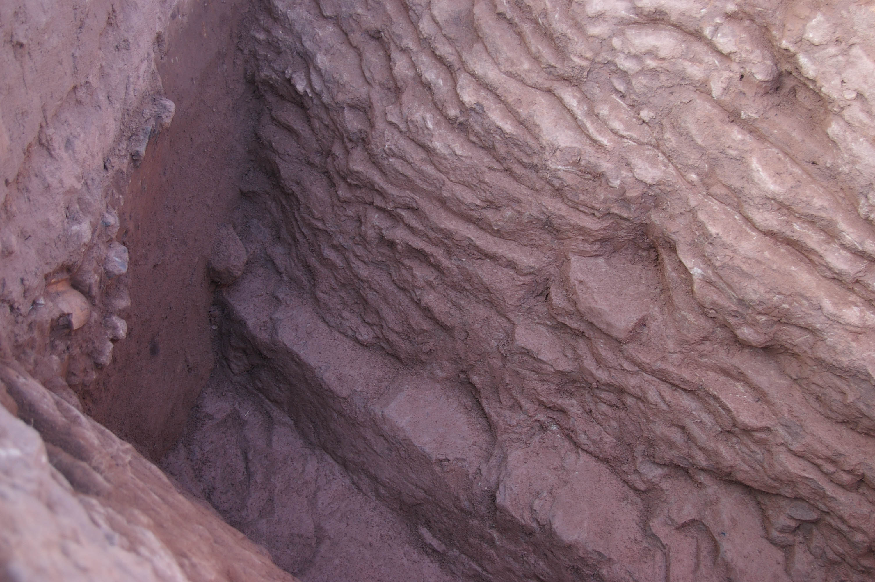
This steep-sided ditch was cut into the underlying sandstone and completely surrounded the settlement, apart from a gap at the entrance. The material cut out of the ditch would have been used to form a bank on the inner side, on which a palisade would have been built. There is a narrow, flat-based slot at the bottom of the ditch. These are sometime referred to as ankle-breakers, in the belief that their purpose was to hinder people trying to assault, or at least break into, the enclosure. |
|
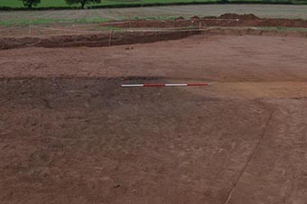
There is little doubt that the larger enclosure was a Romano-British settlement. The smaller, circular ditch was quite different. What machining the area revealed was that outside the circular ditch the topsoil overlay the natural Old Red Sandstone, as it did all over the field. However, within the area of the ring was a solid layer of hard-packed clay and stone. |
|
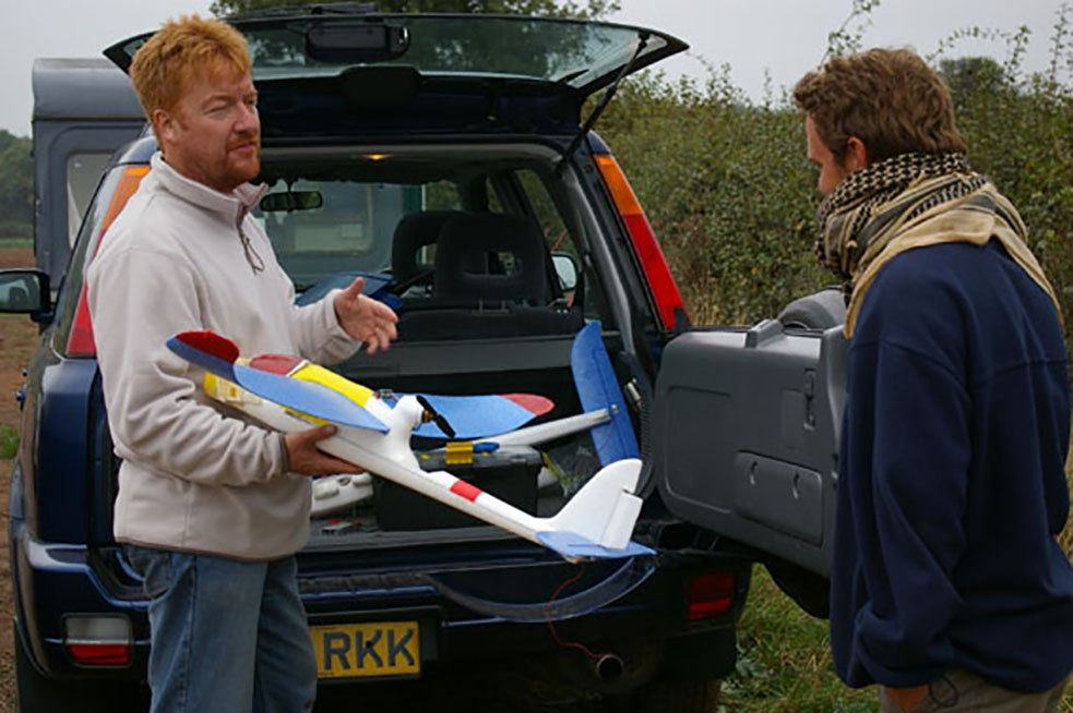
Aerial photography used to be something organised with a pilot with a fixed wing aircraft taking off from an airfiels miles away. |
|
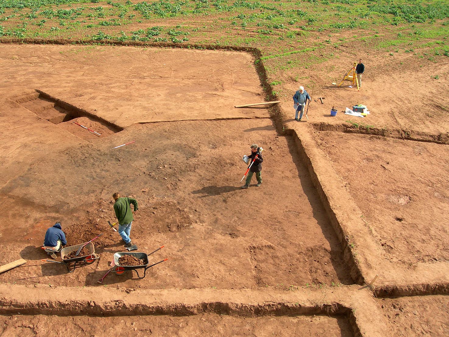
The centre of the smaller ring being excavated. The centre of the ring was where the two baulks intersect at the bottom right of the photograph. At the top right an archaeologist is using a total station while another in the centre left is walking across the site carrying the staff. All surfaces, together with the location of artefacts and bones were three dimensionally recorded. |
|
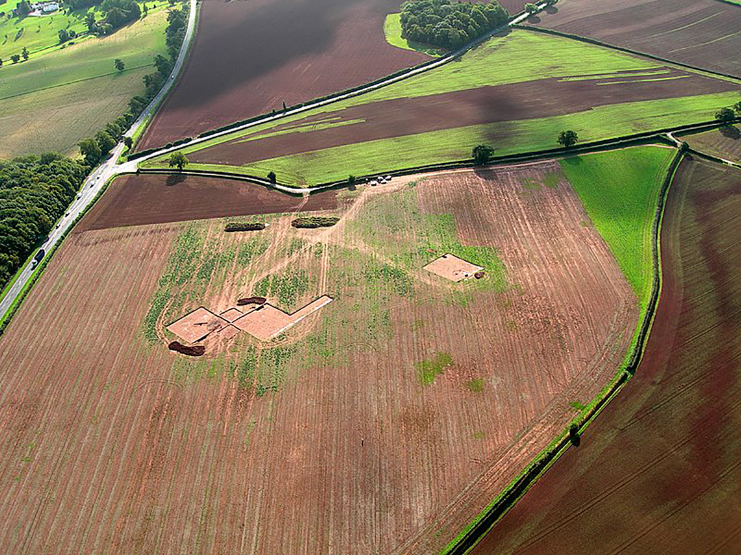
Aerial view of the site. On the left the area of the smaller ring has been opened up. The opened area on the right is around the break in the larger ditch which was believed to indicate the entrance. The A49 Ross-on-Wye to Wigan trunk road is on the left. Drone technology was fairly new in archaeology at the time |
|
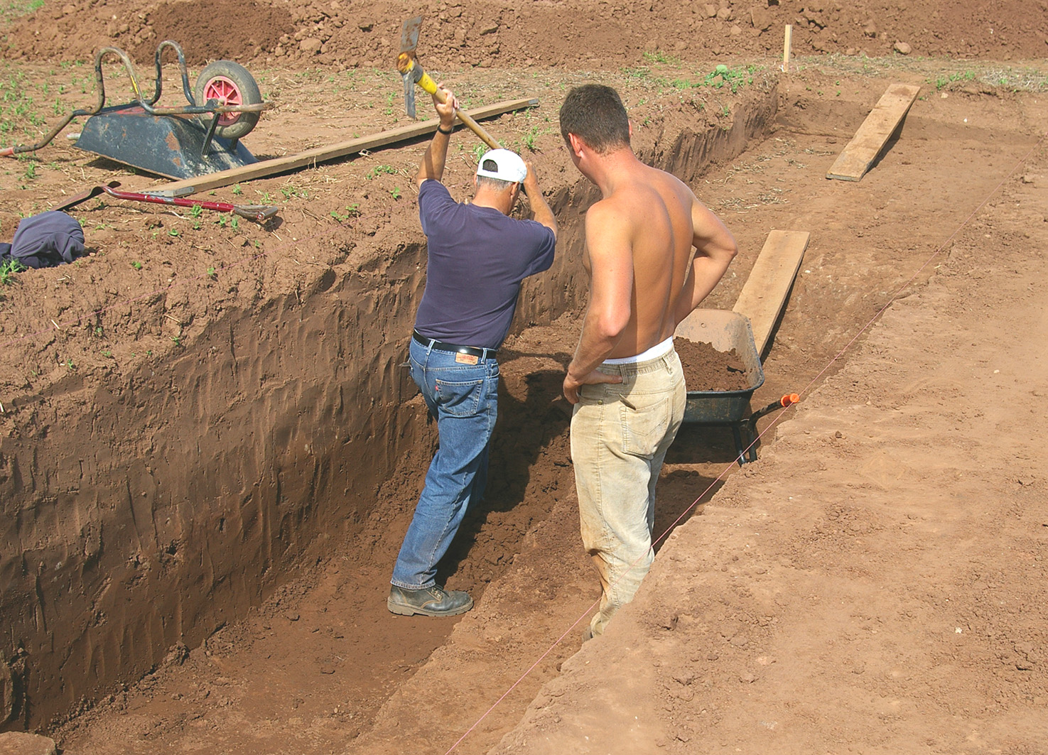
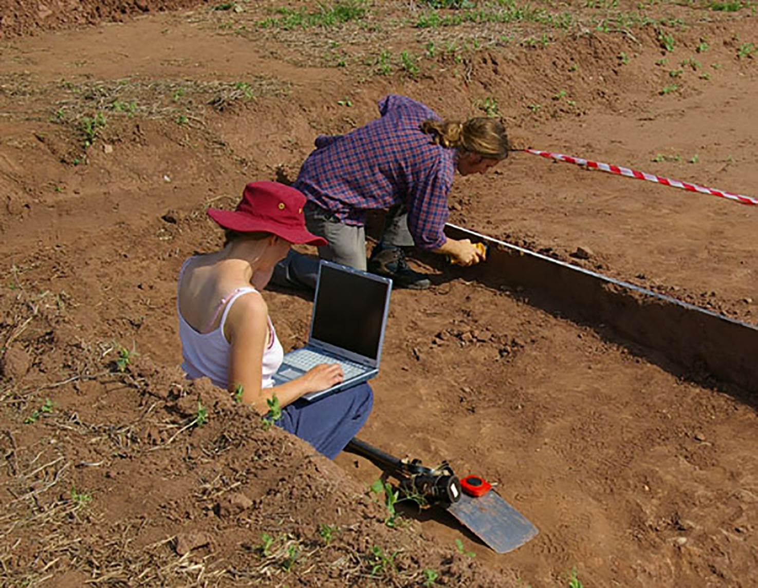
Digging a section through the northern ditch segment. Sometimes only traditional methodologies will do |
|
In tandem with the excavation of the north-east quadrant within the ring, two sections were cut through the fill of the ditch itself. Standard archaeological techniques include the recording of the stratigraphy of ditch fills. Ordinarily, different layers are visible to the naked eye and archaeologist make scale drawings of them in order to record the different events during the infilling of features. In this case, no layers were visible within the fill of the ditch. Using a hand-held magnetic susceptibility meter, 10cm readings were taken over the whole exposed vertical face of the northern section through the ditch. |
|
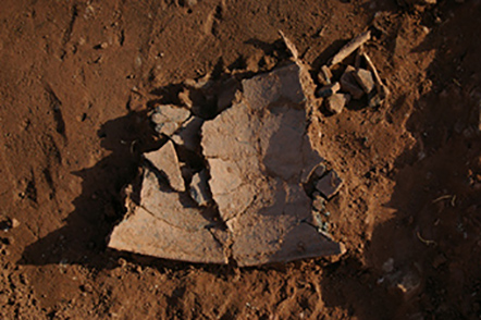
Large sherds of unabraded pottery, lying broken among the burnt material suggested that some fairly dramatic event had occurred on the site. Pottery is not usually found lying on surfaces. |
